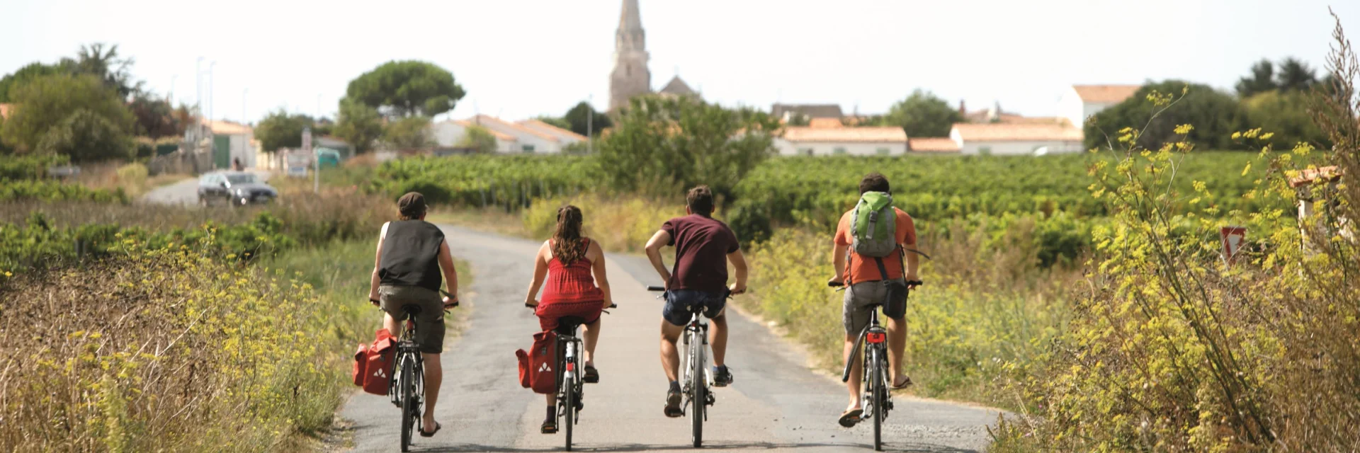
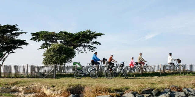
Cycling on Île de Ré is defined by constant changes in landscape. The entire network is easy to follow, but certain sections stand out for the variety and character of the places they take you through.
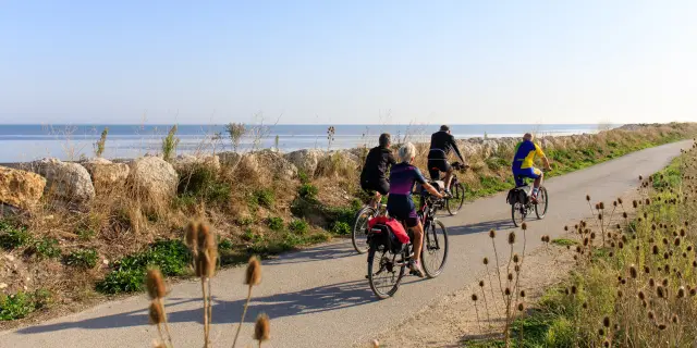
The stretch along Plage Nord de Rivedoux offers one of the gentlest introductions to cycling on Île de Ré. Wide, flat and easy to follow, the path hugs the coastline with uninterrupted views of the bridge right up to Baie de l’Aiguillon, where the light constantly shifts over the water.
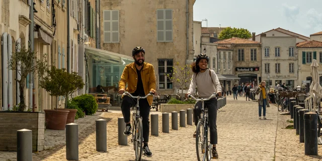
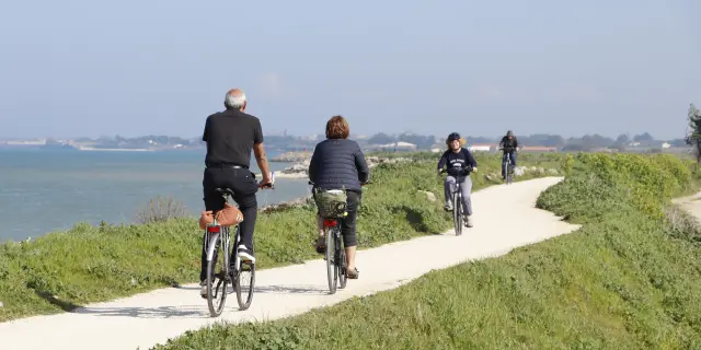
South is Sainte-Marie-de-Ré, where the cycling path runs between the village and the dunes. You move through narrow streets lined with low white houses and hollyhocks before reaching a succession of beaches facing the open ocean. Along this stretch, a few WWII bunkers remain scattered along the shoreline, and the views open wide towards the southern coast of La Rochelle, with Fort Boyard visible on clear days.
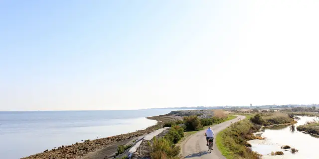
From La Flotte, follow the northern coastal route towards Saint-Martin-de-Ré and on to Loix. The atmosphere shifts quickly, the coastline becomes more rugged with oyster farms and tasting huts along the way. The path runs alongside the Fosse de Loix and then the Fier d’Ars, offering long, uninterrupted views over marshes, channels and open landscapes shaped by the tides. This is one of the most distinctive stretches of the island.
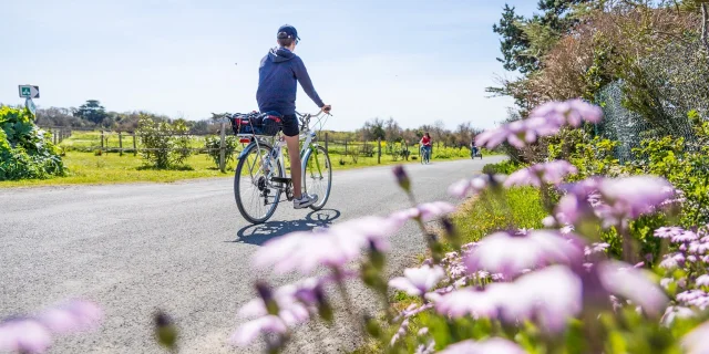
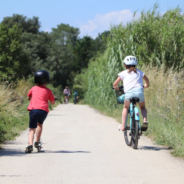
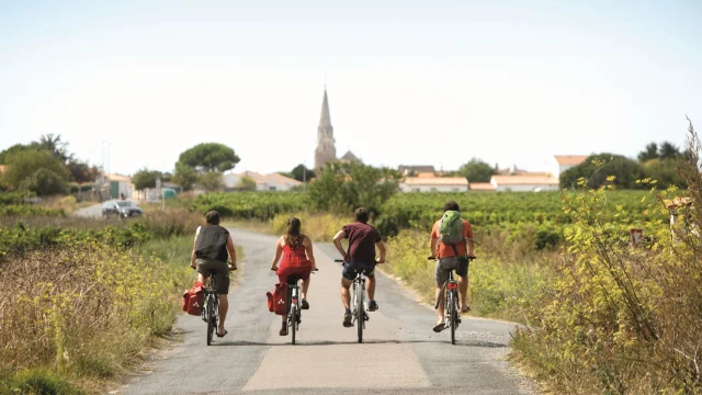
For a different pace, the inland route between Sainte-Marie-de-Ré, Le Bois-Plage-en-Ré and La Couarde-sur-Mer reveals another picturesque side of the island. Cycling here takes you through vineyards, small lanes, patches of woodland and cultivated fields: a more rural setting, dotted with traditional houses and local life.
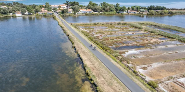
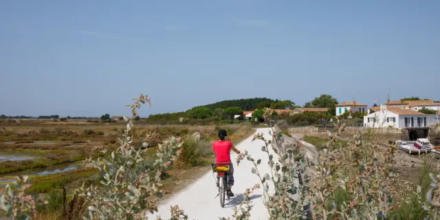
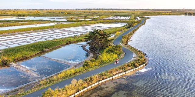
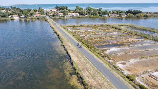
Further, around Loix and Ars-en-Ré, the scenery opens into the island’s iconic salt marshes. Narrow paths wind between basins where fleur de sel is still harvested, with occasional detours leading towards more discreet, wilder beaches along the coast.
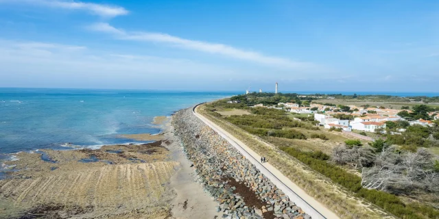
From Ars-en-Ré, a loop towards Les Portes-en-Ré and Saint-Clément-des-Baleines takes you into some of the island’s most preserved landscapes. The route passes through the Lilleau des Niges nature reserve, a key stop for migratory birds, then continues through stretches of pine forest before reaching the dunes, where the ocean runs just beyond. From here, you can extend the ride to the Phare des Baleines lighthouse or follow inland paths back towards Ars, passing through Saint-Clément and its quieter village atmosphere.
Each of these sections reveals a different side of Île de Ré, from ocean views and marshlands to forests and vineyards, making it easy to shape your ride depending on what you want to experience along the way.